Take a closer look at the wonderful world of maps through history.
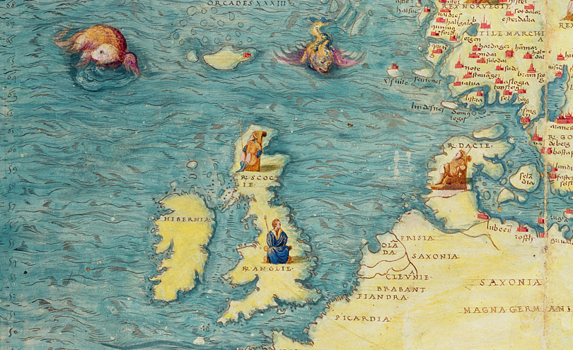
More than simply a topological survey of a country or continent, historical maps are as diverse as the lands they depict. From hunting dogs to sea monsters and cherubs blowing the winds across the ocean, their creativity makes them artworks in their own right.
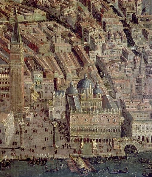
Perspective plan of Venice (detail) (oil on panel), Italian School / Louvre, Paris, France / Cameraphoto Arte Venezia
A subjective view of the world
Before the invention of adequate measuring tools, maps were merely symbolic representations based on religious beliefs and political powers in place at the time of the commissioning. One of the first maps to translate the spherical representation of the world onto a flat surface is this map by Enrico Martello. It is thought to have been used by Christopher Columbus.
Discover more maps around the globe
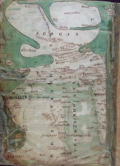
One of the earliest detailed maps of Great Britain extant, by Matthew Paris, c.1250 (vellum) British Library
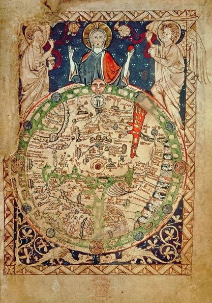
World Map (vellum), English School, (13th century) / British Library